Original: $11.96
-70%$11.96
$3.59The Story
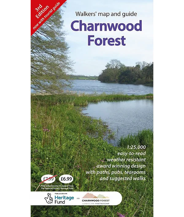
Charnwood Forest is part of the National Forest located between Leicester and Loughborough. It is a surprisingly rugged upland area makes the forest a great place for walking, and is strikingly different from the landscape of the rest of the East Midlands . The forest's ancient geology is of international significance and has given rise to an area of rich biodiversity and great beauty.
This visitors' map of Charnwood Forest Regional Park is ideal for walkers highlighting footpaths, permissive routes and public access land at a scale of 1:25,000. It also shows long distance footpaths including the new National Forest Way which passes through the area, along with two National Cycle Routes. On the reverse of the map there is tourist guide and a number of suggested walks.
Published in October 2023 (revised 3rd edition), the map is weather resistant, and is enhanced by information panels illustrated with attractive images giving a positive impression of the region.
Description
Charnwood Forest is part of the National Forest located between Leicester and Loughborough. It is a surprisingly rugged upland area makes the forest a great place for walking, and is strikingly different from the landscape of the rest of the East Midlands . The forest's ancient geology is of international significance and has given rise to an area of rich biodiversity and great beauty.
This visitors' map of Charnwood Forest Regional Park is ideal for walkers highlighting footpaths, permissive routes and public access land at a scale of 1:25,000. It also shows long distance footpaths including the new National Forest Way which passes through the area, along with two National Cycle Routes. On the reverse of the map there is tourist guide and a number of suggested walks.
Published in October 2023 (revised 3rd edition), the map is weather resistant, and is enhanced by information panels illustrated with attractive images giving a positive impression of the region.