🎉 Up to 70% Off Selected ItemsShop Sale
$17.30
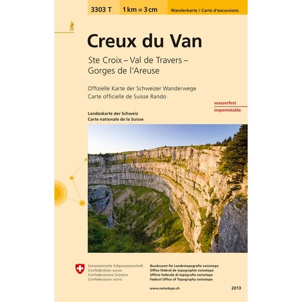
Creux du Van Walking Map 3303T—
$17.30
The Story
This Creux du Van Walking Map covers an area to the northwest of lake Neuchatel, including Val de Travers. The map also covers the Gorges de l'Areuse between Noiraigue and Boudry, plus the towns of Ste Croix, Yverdon, Bevaix and Couvert.
The scale of this Creux du Van Walking Map (map number 3303T) is 1:33,333. Published by Swisstopo in cooperation with the Swiss Hiking Federation this map is printed on light, waterproof and tear-resistant paper.
The scale of this Creux du Van Walking Map (map number 3303T) is 1:33,333. Published by Swisstopo in cooperation with the Swiss Hiking Federation this map is printed on light, waterproof and tear-resistant paper.
Description
This Creux du Van Walking Map covers an area to the northwest of lake Neuchatel, including Val de Travers. The map also covers the Gorges de l'Areuse between Noiraigue and Boudry, plus the towns of Ste Croix, Yverdon, Bevaix and Couvert.
The scale of this Creux du Van Walking Map (map number 3303T) is 1:33,333. Published by Swisstopo in cooperation with the Swiss Hiking Federation this map is printed on light, waterproof and tear-resistant paper.
The scale of this Creux du Van Walking Map (map number 3303T) is 1:33,333. Published by Swisstopo in cooperation with the Swiss Hiking Federation this map is printed on light, waterproof and tear-resistant paper.