🎉 Up to 70% Off Selected ItemsShop Sale
$27.99
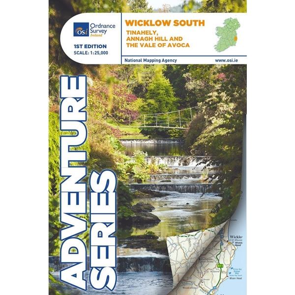
Irish Adventure Map - Wicklow South—
$27.99
The Story
This Wicklow South Adventure Map covers Tinahely, Annagh Hill, and the Vale of Avoca in the southern part of the Wicklow Mountains. Various mountains and hills are featured on the map, including the western part of Croaghanmoira, Cushbawn, Croghan, the southern section of Slieve Maan, Carrickashane, Ballyteige and Stookeen. There are many rivers in this area, including the Ow River, the Aughrim River, the Avoca River, the Derreen River and the Derry River.
Various walking trails and paths marked on this map, including part of the Wicklow Way, Avondale Trails, Avoca Red Kite Trails, Sean Linehan Walk, Ciaran Shannon Walk, Mangans Loop, Ballycumber Loop, Kyle Loop, Tinahely Railway Walk, and Tomnafinnogue.
The railway which runs through the Vale of Avoca to Arklow town, plus the historic site of Avondale House and Forest Park are all shown on the map. Also included are the towns and villages of Avoca, Aughrim, the western section of Arklow, Hacketstown, Knockananna, Tinahely and Shillelagh.
The Adventure Series of maps provide detailed mapping at scale of 1:25,000. They are aimed at outdoor enthusiasts to enjoy mountaineering, hill walking, cycling, and water sports. All Adventure Series Maps are printed on Water Resistant Paper.
Description
This Wicklow South Adventure Map covers Tinahely, Annagh Hill, and the Vale of Avoca in the southern part of the Wicklow Mountains. Various mountains and hills are featured on the map, including the western part of Croaghanmoira, Cushbawn, Croghan, the southern section of Slieve Maan, Carrickashane, Ballyteige and Stookeen. There are many rivers in this area, including the Ow River, the Aughrim River, the Avoca River, the Derreen River and the Derry River.
Various walking trails and paths marked on this map, including part of the Wicklow Way, Avondale Trails, Avoca Red Kite Trails, Sean Linehan Walk, Ciaran Shannon Walk, Mangans Loop, Ballycumber Loop, Kyle Loop, Tinahely Railway Walk, and Tomnafinnogue.
The railway which runs through the Vale of Avoca to Arklow town, plus the historic site of Avondale House and Forest Park are all shown on the map. Also included are the towns and villages of Avoca, Aughrim, the western section of Arklow, Hacketstown, Knockananna, Tinahely and Shillelagh.
The Adventure Series of maps provide detailed mapping at scale of 1:25,000. They are aimed at outdoor enthusiasts to enjoy mountaineering, hill walking, cycling, and water sports. All Adventure Series Maps are printed on Water Resistant Paper.
Various walking trails and paths marked on this map, including part of the Wicklow Way, Avondale Trails, Avoca Red Kite Trails, Sean Linehan Walk, Ciaran Shannon Walk, Mangans Loop, Ballycumber Loop, Kyle Loop, Tinahely Railway Walk, and Tomnafinnogue.
The railway which runs through the Vale of Avoca to Arklow town, plus the historic site of Avondale House and Forest Park are all shown on the map. Also included are the towns and villages of Avoca, Aughrim, the western section of Arklow, Hacketstown, Knockananna, Tinahely and Shillelagh.
The Adventure Series of maps provide detailed mapping at scale of 1:25,000. They are aimed at outdoor enthusiasts to enjoy mountaineering, hill walking, cycling, and water sports. All Adventure Series Maps are printed on Water Resistant Paper.