🎉 Up to 70% Off Selected ItemsShop Sale
$63.73
Original: $212.44
-70%Offa's Dyke Path XT40 Harvey Map—
$212.44
$63.73The Story
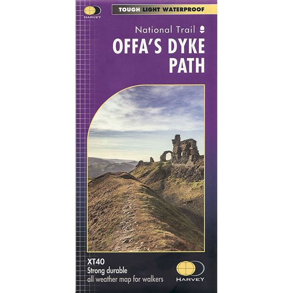
This is a complete map of the Offa's Dyke Path long distance path that runs from Chepstow in the south to Prestatyn on the north Wales coast.
Offa's Dyke Path is a National Trail 285km long (178 miles) along the border between Wales and England. It runs from sea to sea - the Severn Estuary to Liverpool Bay. For about 112km (70 miles) the path follows the course of what was originally an 8m ditch and rampart, where castles, forts and historic sites are dotted along the route.
The map includes logistical information for walking the Offa's Dyke Path long distance path, including accommodation options, shops and refreshments. Directions to the start of the route are included plus enlargements of the local towns and villages showing what facilities are available.
Harvey XT40 Maps are printed on tough, light, durable and 100% waterproof paper. The map is GPS compatible, with the key and legend in English, French and German text.
Description
This is a complete map of the Offa's Dyke Path long distance path that runs from Chepstow in the south to Prestatyn on the north Wales coast.
Offa's Dyke Path is a National Trail 285km long (178 miles) along the border between Wales and England. It runs from sea to sea - the Severn Estuary to Liverpool Bay. For about 112km (70 miles) the path follows the course of what was originally an 8m ditch and rampart, where castles, forts and historic sites are dotted along the route.
The map includes logistical information for walking the Offa's Dyke Path long distance path, including accommodation options, shops and refreshments. Directions to the start of the route are included plus enlargements of the local towns and villages showing what facilities are available.
Harvey XT40 Maps are printed on tough, light, durable and 100% waterproof paper. The map is GPS compatible, with the key and legend in English, French and German text.
Offa's Dyke Path is a National Trail 285km long (178 miles) along the border between Wales and England. It runs from sea to sea - the Severn Estuary to Liverpool Bay. For about 112km (70 miles) the path follows the course of what was originally an 8m ditch and rampart, where castles, forts and historic sites are dotted along the route.
The map includes logistical information for walking the Offa's Dyke Path long distance path, including accommodation options, shops and refreshments. Directions to the start of the route are included plus enlargements of the local towns and villages showing what facilities are available.
Harvey XT40 Maps are printed on tough, light, durable and 100% waterproof paper. The map is GPS compatible, with the key and legend in English, French and German text.