🎉 Up to 70% Off Selected ItemsShop Sale
Select Map Finish
From $17.36
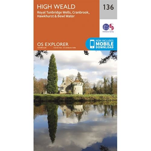
OS Explorer Map 136 - High Weald—
$17.36
The Story
This OS Explorer 136 Map covers High Weald, including Royal Tunbridge Wells, Tonbridge, Cranbrook, Hawkhurst and Bewl Water.
The scale of this OS136 Explorer map is 1:25,000 where 4cm equals 1km, or 2.5 inches equals 1 mile.
With this map you will receive a code for a free mobile download onto your smartphone or tablet (iOS or Android).
The scale of this OS136 Explorer map is 1:25,000 where 4cm equals 1km, or 2.5 inches equals 1 mile.
With this map you will receive a code for a free mobile download onto your smartphone or tablet (iOS or Android).
Description
This OS Explorer 136 Map covers High Weald, including Royal Tunbridge Wells, Tonbridge, Cranbrook, Hawkhurst and Bewl Water.
The scale of this OS136 Explorer map is 1:25,000 where 4cm equals 1km, or 2.5 inches equals 1 mile.
With this map you will receive a code for a free mobile download onto your smartphone or tablet (iOS or Android).
The scale of this OS136 Explorer map is 1:25,000 where 4cm equals 1km, or 2.5 inches equals 1 mile.
With this map you will receive a code for a free mobile download onto your smartphone or tablet (iOS or Android).