🎉 Up to 70% Off Selected ItemsShop Sale
Select Map Finish
From $5.21
Original: $17.36
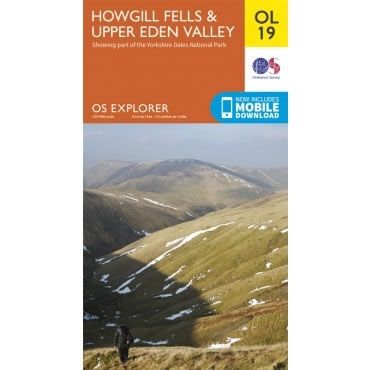
-70%OS Explorer Map OL19 - Howgill Fells and Upper Eden Valley—
$17.36
$5.21The Story
This OS Explorer OL19 Map covers Howgill Fells and Upper Eden Valley.
The map shows part of the Yorkshire Dales National park, and includes Appleby-in-Westmorland, Sedbergh, Kirkby Stephen the River Eden, Great Shunner Fell and Hardraw.
The scale of this OL 19 Explorer map is 1:25,000 where 4cm equals 1km, or 2.5 inches equals 1 mile.
With this map you will receive a code for a free mobile download onto your smartphone or tablet (iOS or Android).
Description
This OS Explorer OL19 Map covers Howgill Fells and Upper Eden Valley.
The map shows part of the Yorkshire Dales National park, and includes Appleby-in-Westmorland, Sedbergh, Kirkby Stephen the River Eden, Great Shunner Fell and Hardraw.
The scale of this OL 19 Explorer map is 1:25,000 where 4cm equals 1km, or 2.5 inches equals 1 mile.
With this map you will receive a code for a free mobile download onto your smartphone or tablet (iOS or Android).
The map shows part of the Yorkshire Dales National park, and includes Appleby-in-Westmorland, Sedbergh, Kirkby Stephen the River Eden, Great Shunner Fell and Hardraw.
The scale of this OL 19 Explorer map is 1:25,000 where 4cm equals 1km, or 2.5 inches equals 1 mile.
With this map you will receive a code for a free mobile download onto your smartphone or tablet (iOS or Android).