🎉 Up to 70% Off Selected ItemsShop Sale
$14.63
Scafell Summit Map—
$14.63
The Story
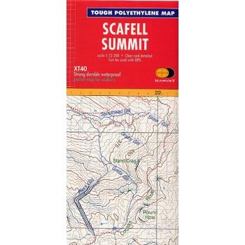
This Scafell Summit Map is an enlarged map for hillwalkers covering the summit of Scafell at 1:12,500 scale, the highest mountain in England
The map covers an area approximately 3km x 4km, and the size is 300mm x 400mm.
Harvey Summit maps are tough, light, and waterproof. They are intended to provide extra clarity and supplementary detail for a complex piece of mountain terrain, where fine navigation is required in bad conditions such as mist, darkness or snow.
Description
This Scafell Summit Map is an enlarged map for hillwalkers covering the summit of Scafell at 1:12,500 scale, the highest mountain in England
The map covers an area approximately 3km x 4km, and the size is 300mm x 400mm.
Harvey Summit maps are tough, light, and waterproof. They are intended to provide extra clarity and supplementary detail for a complex piece of mountain terrain, where fine navigation is required in bad conditions such as mist, darkness or snow.
The map covers an area approximately 3km x 4km, and the size is 300mm x 400mm.
Harvey Summit maps are tough, light, and waterproof. They are intended to provide extra clarity and supplementary detail for a complex piece of mountain terrain, where fine navigation is required in bad conditions such as mist, darkness or snow.