Original: $23.98
-70%$23.98
$7.19The Story
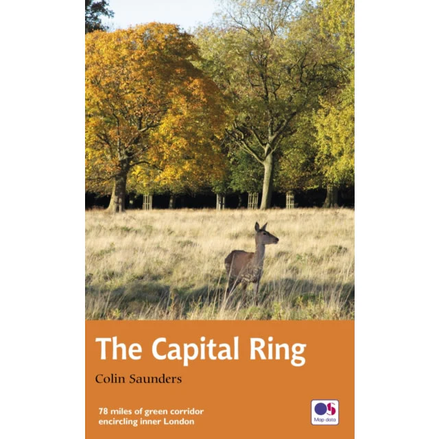
This is the official guidebook describing the Capital Ring long distance path. This Capital Ring National Trail path is the shortest of the circular walks around London at 78 miles (125km) long, with the official start at the Woolwich foot tunnel. The route encircling inner London links an astonishing number of islands of green spaces – parks, woodlands, abandoned railway lines, towpaths and nature reserves – which still survive in the very heart of the city.
The guidebook divides the Capital Ring route into 15 easily walked sections, with each section starting and finishing at a public transport point. The guidebook describes all the varied and interesting features along the route including Richmond Park, Eltham Palace and the Thames Barrier.
Publish in June 2020 by Aurum Press. The guidebook includes many colour photographs and colour extracts from the Ordnance Survey's Explorer series of maps.
Number of pages is 165.
Size is 130mm x 210mm.
ISBN is 9780711258211.
Description
This is the official guidebook describing the Capital Ring long distance path. This Capital Ring National Trail path is the shortest of the circular walks around London at 78 miles (125km) long, with the official start at the Woolwich foot tunnel. The route encircling inner London links an astonishing number of islands of green spaces – parks, woodlands, abandoned railway lines, towpaths and nature reserves – which still survive in the very heart of the city.
The guidebook divides the Capital Ring route into 15 easily walked sections, with each section starting and finishing at a public transport point. The guidebook describes all the varied and interesting features along the route including Richmond Park, Eltham Palace and the Thames Barrier.
Publish in June 2020 by Aurum Press. The guidebook includes many colour photographs and colour extracts from the Ordnance Survey's Explorer series of maps.
Number of pages is 165.
Size is 130mm x 210mm.
ISBN is 9780711258211.