🎉 Up to 70% Off Selected ItemsShop Sale
$27.99
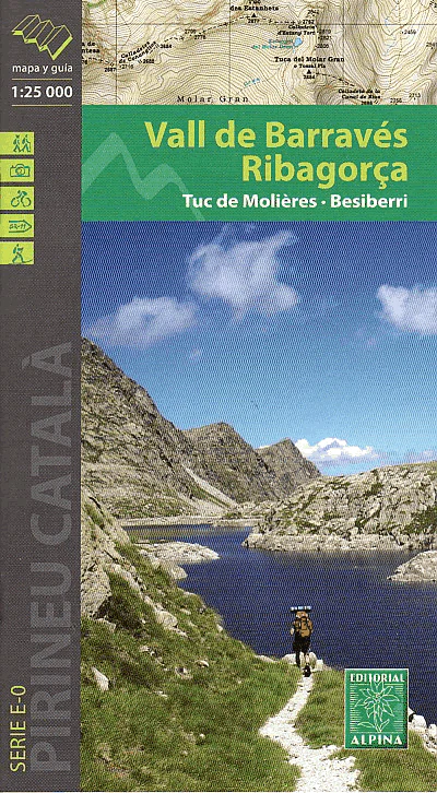
Vall de Barraves Map in Ribagorca—
$27.99
The Story
This covers the Barraves valley in the Ribagorca region situated in the central part of the Pyrenees. The map includes the Besiberri Massif whose highest point is called Comalooforno (3,029), and Tuc de Molieres Mountain (3,011m). The map comes with a hiking guide booklet with details of tourist attractions, hiking and sporting activities as well as transport information.
Published in October 2000 this map is GPS compatible.
Map Scale is 1:25,000
Folded size is 115mm x 210mm
Published in October 2000 this map is GPS compatible.
Map Scale is 1:25,000
Folded size is 115mm x 210mm
Description
This covers the Barraves valley in the Ribagorca region situated in the central part of the Pyrenees. The map includes the Besiberri Massif whose highest point is called Comalooforno (3,029), and Tuc de Molieres Mountain (3,011m). The map comes with a hiking guide booklet with details of tourist attractions, hiking and sporting activities as well as transport information.
Published in October 2000 this map is GPS compatible.
Map Scale is 1:25,000
Folded size is 115mm x 210mm
Published in October 2000 this map is GPS compatible.
Map Scale is 1:25,000
Folded size is 115mm x 210mm