🎉 Up to 70% Off Selected ItemsShop Sale
$7.60
Original: $25.32
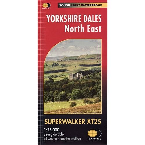
-70%Yorkshire Dales North East XT25 Superwalker Map—
$25.32
$7.60The Story
This is a detailed map of the north eastern part of the Yorkshire Dales National Park and is ideal for hillwalkers, hikers, climbers, and cyclists. This Yorkshire Dales North East map includes Swaledale, Wharfedale, Wensleydale, Nidderdale, Askrigg, Aysgarth, Kettlewell and Reeth in the Yorkshire Dales.
Published in February 2016 by Harvey Maps, it is printed on light, waterproof and tear-resistant synthetic paper.
Map Scale is 1:25,000 and is GPS compatible.
Published in February 2016 by Harvey Maps, it is printed on light, waterproof and tear-resistant synthetic paper.
Map Scale is 1:25,000 and is GPS compatible.
Description
This is a detailed map of the north eastern part of the Yorkshire Dales National Park and is ideal for hillwalkers, hikers, climbers, and cyclists. This Yorkshire Dales North East map includes Swaledale, Wharfedale, Wensleydale, Nidderdale, Askrigg, Aysgarth, Kettlewell and Reeth in the Yorkshire Dales.
Published in February 2016 by Harvey Maps, it is printed on light, waterproof and tear-resistant synthetic paper.
Map Scale is 1:25,000 and is GPS compatible.
Published in February 2016 by Harvey Maps, it is printed on light, waterproof and tear-resistant synthetic paper.
Map Scale is 1:25,000 and is GPS compatible.