🎉 Up to 70% Off Selected ItemsShop Sale
$7.60
Original: $25.32
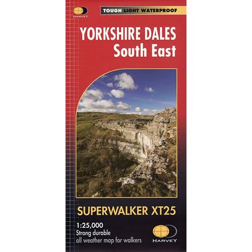
-70%Yorkshire Dales South East XT25 Superwalker Map—
$25.32
$7.60The Story
This is a detailed map of the south eastern part of the Yorkshire Dales National Park and is ideal for hillwalkers, hikers, climbers, and cyclists. This Yorkshire Dales South East map covers Pen-y-ghent, and Malham Cove, plus the towns of Wharfedale, Nidderdale, Settle, Skipton and Grassington.
Published in February 2016 by Harvey Maps, it is printed on light, waterproof and tear-resistant synthetic paper.
Map Scale is 1:25,000 and is GPS compatible.
Published in February 2016 by Harvey Maps, it is printed on light, waterproof and tear-resistant synthetic paper.
Map Scale is 1:25,000 and is GPS compatible.
Description
This is a detailed map of the south eastern part of the Yorkshire Dales National Park and is ideal for hillwalkers, hikers, climbers, and cyclists. This Yorkshire Dales South East map covers Pen-y-ghent, and Malham Cove, plus the towns of Wharfedale, Nidderdale, Settle, Skipton and Grassington.
Published in February 2016 by Harvey Maps, it is printed on light, waterproof and tear-resistant synthetic paper.
Map Scale is 1:25,000 and is GPS compatible.
Published in February 2016 by Harvey Maps, it is printed on light, waterproof and tear-resistant synthetic paper.
Map Scale is 1:25,000 and is GPS compatible.